
Practical
Complete Guide to the Camino Francés (Stages, Towns, Tips)
Everything you need to plan the most popular Camino: 33 stages from Saint-Jean-Pied-de-Port to Santiago, with town stops, distances, and honest tips.
April 18, 2026 · 18 min read
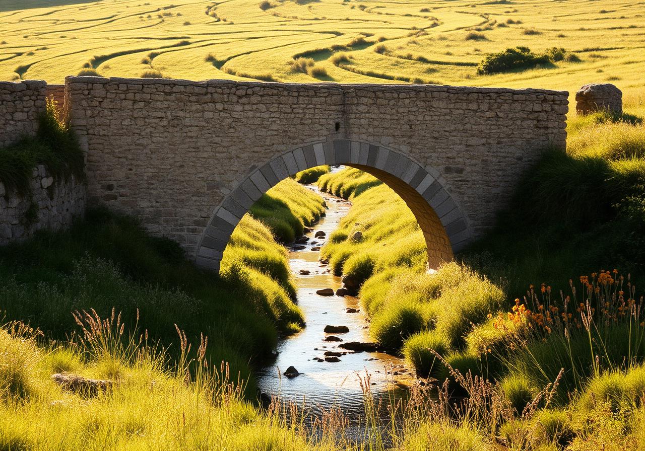
The Camino Francés is the route most people picture when they hear 'Camino de Santiago' — 780 kilometres from the French Pyrenees to the cathedral in Santiago de Compostela, walked by roughly 60% of all pilgrims each year. It is the most infrastructure-rich, the most social, and (for first-timers) the most forgiving route.
Most pilgrims walk it in 30–35 days at an average of 22–25 km per day. You can break it into shorter trips of one or two weeks if a full month isn't realistic — Sarria to Santiago (the final 115 km) is the most popular short option and still earns you the Compostela.
Stage 1 from Saint-Jean over the Pyrenees to Roncesvalles is the hardest day on the entire route — 1,400 m of climbing in 27 km. Take the Napoleon Route in good weather; the Valcarlos Route in winter or storms.
Key cities you'll pass through: Pamplona (day 3), Logroño (day 7), Burgos (day 12), León (day 19), Astorga (day 22), Ponferrada (day 25), Sarria (day 28). Each is worth a rest day if your schedule allows.
The Meseta — the high plateau between Burgos and León — is where many pilgrims struggle mentally. It's flat, treeless, and quiet. Don't skip it. The silence is the point.
Budget around €35–€50 per day if staying in albergues and eating pilgrim menus. Double that for private rooms.
Best months: May, June, and September. July–August is hot and crowded; winter is doable but many albergues close.
Keep exploring
Next stops & related posts
Towns, stages, and stories connected to this article — your jumping-off points to plan the next stretch of the Camino.
Pilgrim guides
- All Camino routes
- Camino Francés stages
- Camino Portugués stages
- Camino del Norte stages
- Roncesvalles monastery & albergue
- Samos monastery lodging
- Foncebadón mountain albergues
- O Cebreiro pilgrim shelters
- All lodging articles
- Compare all routes
- Camino Francés overview
- Camino Inglés (shorter option)
- All planning articles
- Santiago de Compostela cathedral
- León cathedral city
- Burgos cathedral city
- Samos monastery
- Roncesvalles monastery
- O Cebreiro pre-Romanesque church
- All history articles
Towns to visit
Pyrénées-Atlantiques, France
Saint-Jean-Pied-de-Port
The traditional starting point — a fortified Basque town at the foot of the Pyrenees.
Navarra
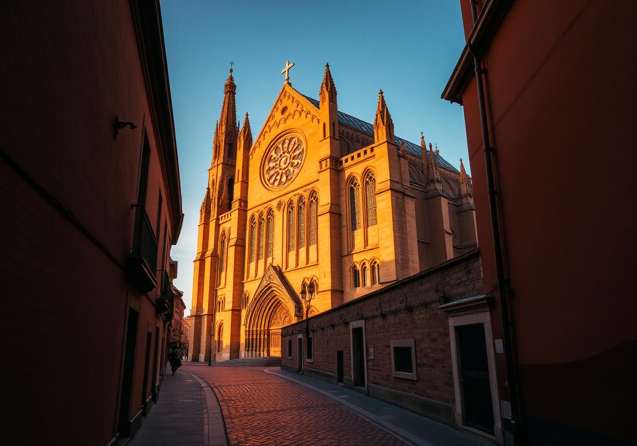
Pamplona
The first city on the Francés — Hemingway's town, famous for the Running of the Bulls.
Castilla y León
Burgos
Castile's medieval capital — home to one of Spain's greatest Gothic cathedrals.
Galicia
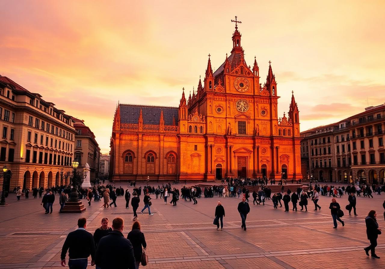
Santiago de Compostela
The journey's end — and for many pilgrims, a new beginning.
Castilla y León
León
A spirited cathedral city marking the gateway to the final third of the Francés.
Navarra
Roncesvalles
A Romanesque monastery in a Pyrenean clearing — the official Spanish start of the Francés.
La Rioja
Logroño
Capital of La Rioja — the Camino's most celebrated tapas city.
León
Astorga
Roman city, Maragato heartland, and the unlikely home of a Gaudí palace.
Suggested stages
Related routes
Related posts
Culture
best towns on the Camino Francés
The eight towns on the Francés that deserve more than a passing night — for their food, their beauty, or the quiet magic they hold.
Culture
history of the Camino de Santiago
From the legend of Saint James and medieval pilgrimage routes to the modern revival — a thousand-year story behind the Way of Saint James.
Culture
Camino de Santiago pilgrimage history
Discover how the Camino de Santiago grew from a local shrine in Galicia into one of medieval Europe's greatest pilgrimage routes.
More posts like this
Articles that share keywords, routes, or towns with this one.
Culture
How the Camino de Santiago Became One of Europe's Great Pilgrimages
- 1 shared route
- 4 shared towns
Culture
The Complete History of the Camino de Santiago
- 1 shared route
- 4 shared towns
Culture
Best Towns on the Camino Francés You Shouldn't Skip
- 1 shared route
- 4 shared towns
Culture
The Role of Monasteries and Churches Along the Camino de Santiago
- 1 shared route
- 3 shared towns
Read next
Culture
How the Camino de Santiago Became One of Europe's Great Pilgrimages
Discover how the Camino de Santiago grew from a local shrine in Galicia into one of medieval Europe's greatest pilgrimage routes.
14 min read
Culture
The Complete History of the Camino de Santiago
From the legend of Saint James and medieval pilgrimage routes to the modern revival — a thousand-year story behind the Way of Saint James.
14 min read
Culture
Best Towns on the Camino Francés You Shouldn't Skip
The eight towns on the Francés that deserve more than a passing night — for their food, their beauty, or the quiet magic they hold.
10 min read
Culture
The Role of Monasteries and Churches Along the Camino de Santiago
Explore the role of monasteries and churches along the Camino de Santiago and how they supported pilgrims through shelter, prayer, hospitality, and history.
12 min read
Culture
The History of the Camino Francés
Discover the history of the Camino Francés, the most famous route of the Camino de Santiago, from its medieval origins to its modern revival.
13 min read
Culture
Top 10 Churches to See on the Camino Francés
From the Romanesque jewel of Eunate to the Gothic glass of León, the Francés is a moving cathedral of stone.
9 min read