
Distance
780 km
Duration
30–35 days
Difficulty
Moderate
Best season
April – June, September – October
Highlights
- 33 featured stages
- Saint-Jean-Pied-de-Port, France → Santiago de Compostela, Spain
- Crossing the Pyrenees via the Napoleon Route
- Views over the French Basque country
- Arrival at the medieval monastery of Roncesvalles
About this route
The most-walked of all the Caminos. Beginning in Saint-Jean-Pied-de-Port at the foot of the French Pyrenees and crossing five regions to Santiago de Compostela, the Francés blends Romanesque cathedrals, vineyards, the high meseta, and oak-lined Galician valleys.
Stages
A featured selection of stages on the Camino Francés. Click any stage for distance, albergues, and where to eat.
Your progress on the Camino Francés
33 stages · 777 km · ~188 h 31 min total walking
0 km / 0 min done · 777 km / 188 h 31 min to go
- 1↑ 1390 m~7 h 52 minChallenging
- 2↑ 220 m~5 h 15 minModerate
- 3↑ 80 m~4 h 48 minEasy
- 4↑ 420 m~6 h 2 minModerate
- 5↑ 300 m~5 h 23 minModerate
- 6↑ 230 m~5 h 3 minModerate
- 7↑ 220 m~6 h 35 minModerate
- 8↑ 150 m~6 h 42 minModerate
- 9↑ 220 m~5 h 2 minEasy
- 10↑ 130 m~5 h 20 minEasy
- 11↑ 470 m~7 hModerate
- 12↑ 150 m~5 h 8 minEasy
- 13↑ 120 m~4 h 52 minEasy
- 14↑ 220 m~4 h 49 minModerate
- 15↑ 290 m~6 h 2 minModerate
- 16↑ 30 m~4 h 16 minEasy
- 17↑ 130 m~6 h 13 minModerate
- 18↑ 90 m~5 h 16 minEasy
- 19↑ 60 m~5 h 53 minEasy
- 20↑ 90 m~4 h 9 minEasy
- 21↑ 60 m~4 h 59 minEasy
- 22↑ 150 m~7 h 8 minModerate
- 23↑ 470 m~5 h 27 minModerate
- 24↑ 600 m~8 h 7 minChallenging
- 25↑ 230 m~5 h 43 minModerate
- 26↑ 950 m~7 h 48 minChallenging
- 27↑ 250 m~5 h 5 minModerate
- 28↑ 380 m~4 h 38 minModerate
- 29↑ 270 m~5 h 20 minModerate
- 30↑ 380 m~6 h 11 minModerate
- 31↑ 300 m~6 h 57 minModerate
- 32↑ 240 m~4 h 37 minEasy
- 33↑ 240 m~4 h 51 minModerate
Walking times assume a steady ~4.5 km/h pace plus 10 min per 100 m of ascent. They cover moving time only — add breaks, photo stops and coffee.
- 1
Saint-Jean-Pied-de-Port → Roncesvalles
25 km • 1390 m gain • Challenging
Crossing the Pyrenees via the Napoleon Route • Views over the French Basque country • Arrival at the medieval monastery of Roncesvalles
- 2
Roncesvalles → Zubiri
22 km • 220 m gain • Moderate
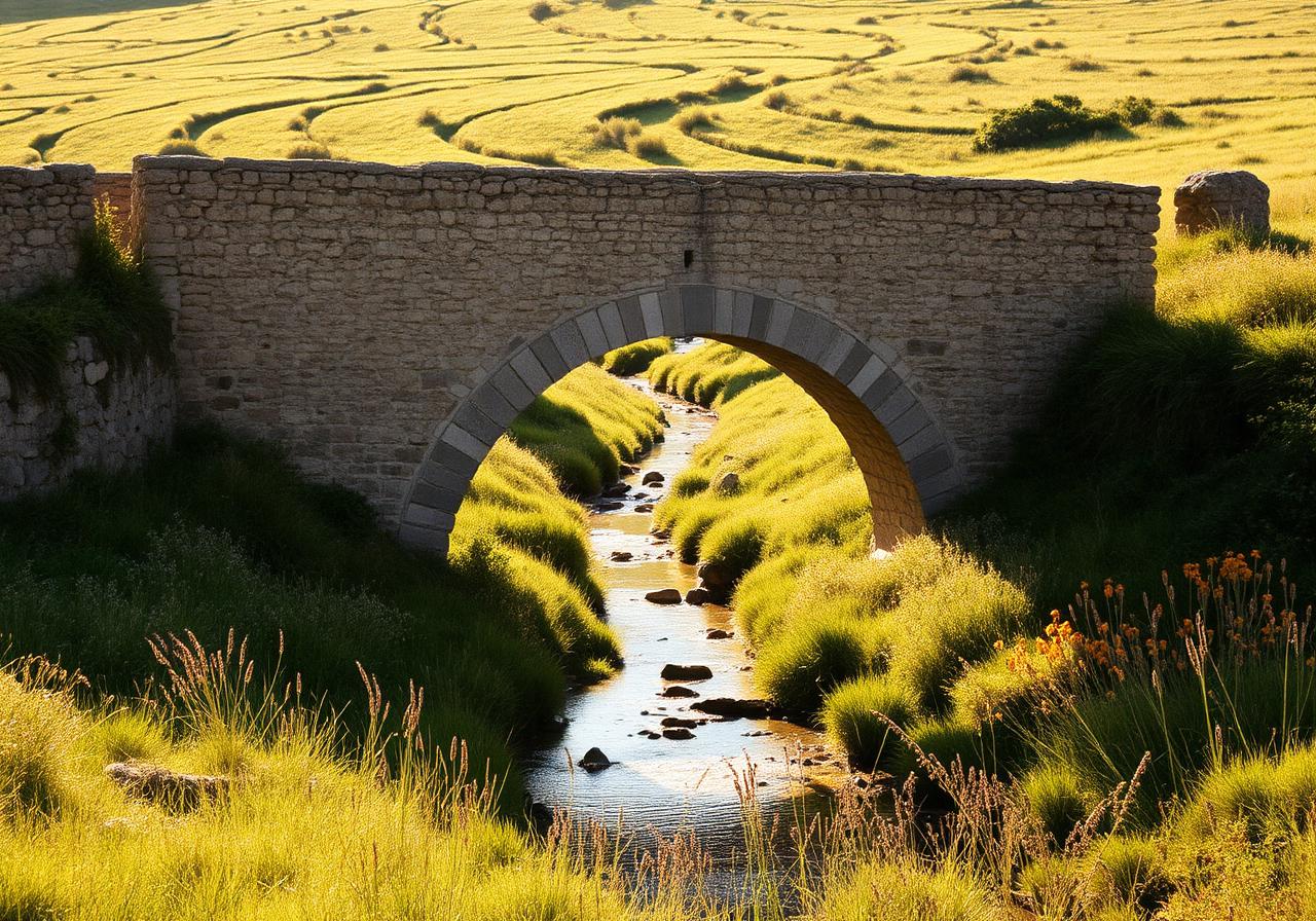
Beech forests of Navarra • Medieval bridge of La Rabia • Village of Burguete (where Hemingway fished)
- 3
Zubiri → Pamplona
21 km • 80 m gain • Easy
Río Arga gorge • Magnesite factory of Zubiri • Entering Pamplona via the Magdalena bridge
- 4
Pamplona → Puente la Reina
24 km • 420 m gain • Moderate
Alto del Perdón ridge with iron pilgrim sculptures • Wind farms of Sierra del Perdón • 12th-century Romanesque bridge over the Arga
- 5
Puente la Reina → Estella
22 km • 300 m gain • Moderate
Octagonal Templar church of Eunate (short detour) • Cirauqui's Roman road • Lorca's medieval lanes
- 6
Estella → Los Arcos
21 km • 230 m gain • Moderate
Bodegas Irache — the famous wine fountain • Monastery of Irache • Vineyards of the Rioja Alavesa fringe
- 7
Los Arcos → Logroño
28 km • 220 m gain • Moderate
Sansol and Torres del Río — twin hilltop villages • Octagonal Holy Sepulchre church in Torres del Río • Crossing into La Rioja
- 8
Logroño → Nájera
29 km • 150 m gain • Moderate
Pantano de la Grajera lake • Vineyards of the Rioja Alta • Red sandstone cliffs of Nájera
- 9
Nájera → Santo Domingo de la Calzada
21 km • 220 m gain • Easy
Cirueña's surreal abandoned development • Cathedral of Santo Domingo with its live rooster and hen • Pilgrim hospice founded by the saint himself
- 10
Santo Domingo de la Calzada → Belorado
23 km • 130 m gain • Easy
Crossing into Castilla y León • Grañón — donativo dinner at San Juan Bautista • Belorado's painted cliff houses
- 11
Belorado → Agés
28 km • 470 m gain • Moderate
Montes de Oca — the lonely high oak forest • San Juan de Ortega's Romanesque church • Atapuerca archaeological site
- 12
Agés → Burgos
22 km • 150 m gain • Easy
Atapuerca's prehistoric cave site (UNESCO) • Industrial outskirts (or river path alternative) • Arrival at the cathedral of Burgos
- 13
Burgos → Hornillos del Camino
21 km • 120 m gain • Easy
Entry to the meseta — Spain's vast central plateau • Tardajos and Rabé de las Calzadas • First wide horizons of grain
- 14
Hornillos del Camino → Castrojeriz
20 km • 220 m gain • Moderate
Hontanas appearing suddenly from the plain • Ruins of the Convento de San Antón • Castle of Castrojeriz crowning the village
- 15
Castrojeriz → Frómista
25 km • 290 m gain • Moderate
Steep climb up Alto de Mostelares for endless meseta views • Itero's Pisuerga river bridge — into Palencia • San Martín de Frómista — peak Romanesque architecture
- 16
Frómista → Carrión de los Condes
19 km • 30 m gain • Easy
Canal de Castilla • Población de Campos and Villalcázar de Sirga • Santa María la Blanca — Templar church
- 17
Carrión de los Condes → Terradillos de los Templarios
27 km • 130 m gain • Moderate
The longest stretch with no services on the meseta — 17 km without a village • Calzadilla de la Cueza • Templar history of Terradillos
- 18
Terradillos de los Templarios → Bercianos del Real Camino
23 km • 90 m gain • Easy
Crossing into the province of León • Sahagún — historic capital of the meseta • Brick Mudéjar churches of San Tirso and San Lorenzo
- 19
Bercianos del Real Camino → Mansilla de las Mulas
26 km • 60 m gain • Easy
Endless wheat fields of León • El Burgo Ranero • Mansilla's intact medieval walls
- 20
Mansilla de las Mulas → León
18 km • 90 m gain • Easy
Approach to the Gothic cathedral of León • Crossing the Río Porma • Entering the historic Barrio Húmedo
- 21
León → Villar de Mazarife
22 km • 60 m gain • Easy
Suburban exit through Trobajo del Camino • Quieter alternative via Villar de Mazarife • Brick churches of the Páramo Leonés
- 22
Villar de Mazarife → Astorga
31 km • 150 m gain • Moderate
Hospital de Órbigo's 13th-century jousting bridge • Entering the Maragatería region • Astorga's Roman walls and Gaudí's Episcopal Palace
- 23
Astorga → Rabanal del Camino
21 km • 470 m gain • Moderate
Climbing into the Montes de León • Castrillo de los Polvazares — perfect Maragato village • Gregorian chant at Rabanal's Benedictine monastery
- 24
Rabanal del Camino → Ponferrada
32 km • 600 m gain • Challenging
Cruz de Ferro — leaving a stone from home • Manjarín's eccentric refuge • Steep descent through Acebo and Molinaseca to the Templar castle of Ponferrada
- 25
Ponferrada → Villafranca del Bierzo
24 km • 230 m gain • Moderate
Cacabelos — heart of Bierzo wine country • Vineyards of Mencía grapes • Romanesque Iglesia de Santiago — the 'Puerta del Perdón'
- 26
Villafranca del Bierzo → O Cebreiro
28 km • 950 m gain • Challenging
Valcarce valley • The brutal climb up to O Cebreiro • Crossing into Galicia
- 27
O Cebreiro → Triacastela
21 km • 250 m gain • Moderate
Alto de San Roque pilgrim statue • Alto do Poio — highest point in Galicia on the Francés • Long descent through chestnut groves
- 28
Triacastela → Sarria
18 km • 380 m gain • Moderate
Choice of routes: via Samos monastery (longer) or San Xil (shorter) • Samos — one of Spain's oldest monasteries • Sarria's medieval upper town
- 29
Sarria → Portomarín
22 km • 270 m gain • Moderate
Starting point for the 100 km minimum (busiest stage) • Stone hamlets and oak forests of the Sarria valley • Portomarín — relocated stone-by-stone above the reservoir
- 30
Portomarín → Palas de Rei
25 km • 380 m gain • Moderate
Hórreos (raised stone granaries) of every farm • Castromaior's Iron Age hillfort • The endless eucalyptus and oak corridor
- 31
Palas de Rei → Arzúa
29 km • 300 m gain • Moderate
Melide — pulperías serving the Camino's most famous octopus • Crossing the Río Furelos via the medieval bridge • Arzúa — capital of Galician cheese
- 32
Arzúa → O Pedrouzo
19 km • 240 m gain • Easy
Quiet eucalyptus forests • Stone hamlets of Salceda and Santa Irene • The last quiet day before Santiago
- 33
O Pedrouzo → Santiago de Compostela
20 km • 240 m gain • Moderate
Final eucalyptus forests of Galicia • Monte do Gozo — first glimpse of Santiago • Arrival at Praza do Obradoiro
Towns on this route
Cities and villages worth a longer stop along the Camino Francés.
Pyrénées-Atlantiques, France
Saint-Jean-Pied-de-Port
The traditional starting point — a fortified Basque town at the foot of the Pyrenees.
Navarra
Roncesvalles
A Romanesque monastery in a Pyrenean clearing — the official Spanish start of the Francés.
Navarra
Zubiri
A small bridge village in a green Pyrenean valley — the first night for many after Roncesvalles.
Navarra
Pamplona
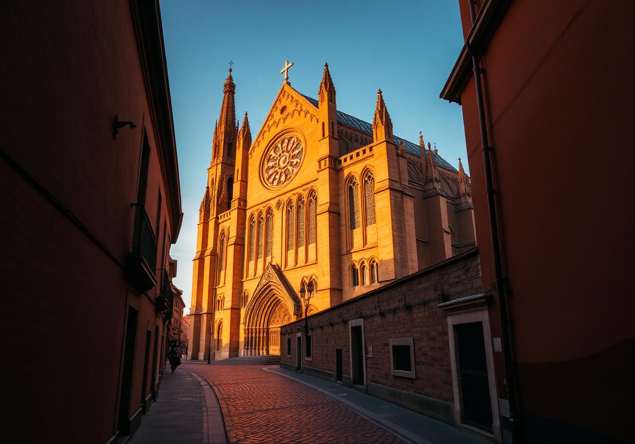
The first city on the Francés — Hemingway's town, famous for the Running of the Bulls.
Navarra
Puente la Reina
Where the Camino Francés and Camino Aragonés merge — at a perfect 11th-century bridge.
Navarra
Estella-Lizarra
A handsome riverside town once called the 'Toledo of the North' for its mix of cultures.
Navarra
Los Arcos
A quiet plaza town with one of Spain's most overwhelming Baroque church interiors.
Navarra
Viana
The last town in Navarra — and where Cesare Borgia is buried beneath the church steps.
La Rioja
Logroño
Capital of La Rioja — the Camino's most celebrated tapas city.
La Rioja
Nájera
A red-cliff town with a royal pantheon carved into the rock.
La Rioja
Santo Domingo de la Calzada
The town built by a saint to serve pilgrims — and home to the famous live rooster.
Castilla y León
Belorado
An old leather-tanning town beneath ochre cliffs honeycombed with hermit caves.
Castilla y León
San Juan de Ortega
A hamlet built around a Romanesque monastery in deep oak forest — and an equinox light miracle.
Castilla y León
Burgos
Castile's medieval capital — home to one of Spain's greatest Gothic cathedrals.
Burgos, Castilla y León
Hornillos del Camino
A single-street meseta village that exists only for the Camino — and feels like it.
Burgos, Castilla y León
Hontanas
A meseta hamlet that hides in a fold of the plain until you are almost on top of it.
Burgos, Castilla y León
Castrojeriz
A long ridge town sprawled along the foot of a Celtic-Roman castle hill.
Palencia
Frómista
A meseta village famous for what is often called the most perfect Romanesque church in Spain.
Palencia
Boadilla del Camino
A tiny meseta village with a remarkable 15th-century stone justice column in its plaza.
Palencia
Carrión de los Condes
A meseta town famous for its singing nuns and its 13th stretch of nothingness ahead.
Palencia
Terradillos de los Templarios
A tiny adobe village said to have been a Templar holding — and the Camino's symbolic midpoint.
León
Sahagún
Once one of the most powerful Cluniac monasteries in Europe — and roughly the halfway point.
León
Bercianos del Real Camino
An adobe-and-straw village on the open meseta — and home to a beloved donativo parish albergue.
León
Mansilla de las Mulas
A walled river town on the Esla — last stop before León, with surviving medieval ramparts.
Castilla y León
León
A spirited cathedral city marking the gateway to the final third of the Francés.
León
Hospital de Órbigo
A village split by Spain's longest medieval bridge — site of the famous 1434 chivalric Paso Honroso.
León
Astorga
Roman city, Maragato heartland, and the unlikely home of a Gaudí palace.
León
Rabanal del Camino
A stone-built mountain village restored almost single-handedly by an English Camino confraternity.
León
Foncebadón
A near-ghost mountain village just below the Cruz de Ferro — the Camino's symbolic high point.
El Bierzo, León
Ponferrada
A Templar castle town at the gateway to the Bierzo wine country.
El Bierzo, León
Cacabelos
A relaxed Bierzo wine town on the Cúa river, full of bodegas and tapas bars.
El Bierzo, León
Villafranca del Bierzo
A wine-country town with its own 'Door of Forgiveness' for pilgrims who could go no further.
León
Las Herrerías
The last village before the steep climb to O Cebreiro — a green valley of slate roofs and forges.
Lugo, Galicia
O Cebreiro
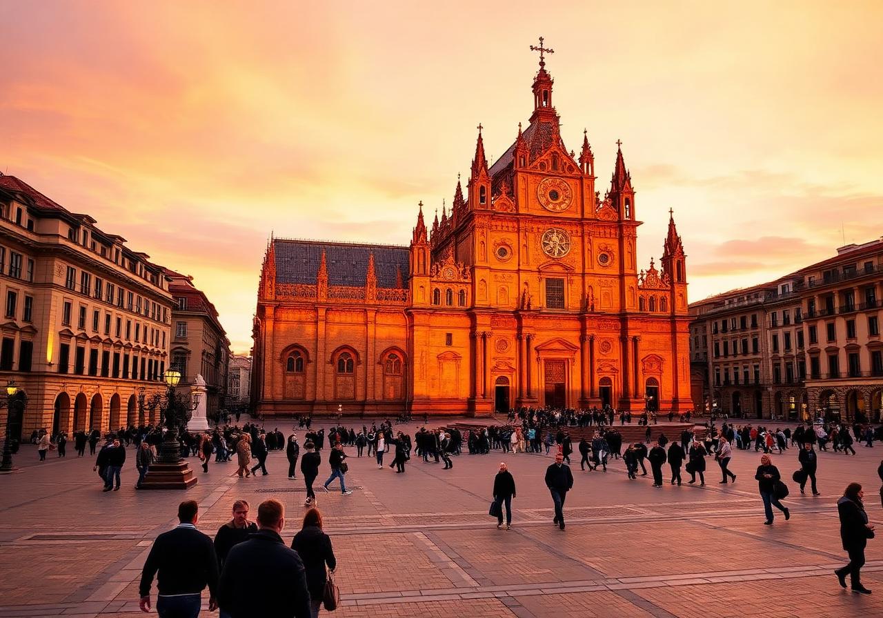
A mountain hamlet of Celtic pallozas — the dramatic doorway to Galicia.
Lugo, Galicia
Triacastela
A Galician mountain village where pilgrims once carried limestone to Castañeda's kilns for the cathedral of Santiago.
Lugo, Galicia
Samos
Home to one of the oldest still-active monasteries in the Western world.
Lugo, Galicia
Sarria
Where the busiest 100-km final push begins — and a charming medieval upper town.
Lugo, Galicia
Portomarín
A town moved stone-by-stone above its drowned old quarter.
Lugo, Galicia
Palas de Rei
A green Galician town named for a vanished Visigothic royal palace.
A Coruña, Galicia
Melide
The Camino's pulpo capital — where the Francés meets the Camino Primitivo.
A Coruña, Galicia
Arzúa
Where the Camino Norte joins the Francés — and the home of Galicia's most famous cheese.
A Coruña, Galicia
O Pedrouzo (Arca)
A linear eucalyptus-shaded town that serves as the traditional last night before Santiago.
Galicia
Santiago de Compostela
The journey's end — and for many pilgrims, a new beginning.
Interactive map
Each marker is a stage on the Camino Francés. Click one to jump into the stage page, the town hub, or related reading. Built on Leaflet & OpenStreetMap.
Loading interactive map…
Related reading
All articles about the Camino Francés
Every post on Camino Compass that mentions this route, its towns, or its stages — 47 in total.
Food
Best Restaurants in León for Pilgrims
Where to find the best cecina, morcilla, and free tapas in the Barrio Húmedo and beyond.
8 min read
Culture
Top 10 Churches to See on the Camino Francés
From the Romanesque jewel of Eunate to the Gothic glass of León, the Francés is a moving cathedral of stone.
9 min read
Practical
Complete Guide to the Camino Francés (Stages, Towns, Tips)
Everything you need to plan the most popular Camino: 33 stages from Saint-Jean-Pied-de-Port to Santiago, with town stops, distances, and honest tips.
18 min read
Practical
Camino Portugués vs Camino Francés: Which One Should You Choose?
A side-by-side comparison of the two most popular Caminos — distance, scenery, crowds, food, and which one suits which kind of pilgrim.
10 min read
Practical
Best Time of Year to Walk the Camino de Santiago
Month-by-month breakdown of weather, crowds, albergue availability, and what to expect when on the Francés, Portugués, and Norte.
8 min read
Practical
How Long Does It Take to Walk the Camino? (Route Breakdown)
Realistic timelines for every major Camino route, with daily distance averages and tips for fitting it into a working life.
7 min read
Practical
What It Costs to Walk the Camino de Santiago (Full Budget Guide)
A real, line-by-line budget for the Camino — from albergue beds to pilgrim menus, gear, transport, and the things that surprise people.
9 min read
Gear
Ultimate Camino Packing List (What I Brought vs What I Needed)
An honest, weighed-out packing list from someone who has walked three Caminos — what made the cut, what got mailed home, and what I'll never carry again.
12 min read
Gear
Best Shoes for Walking the Camino de Santiago (2026 Guide)
Trail runners, hiking shoes, or boots? An honest review of the most common Camino footwear, with picks for wide feet, hot weather, and the rainy Norte.
11 min read
Gear
Top 10 Must-Have Items for the Camino (And What to Skip)
The ten things I'd never walk a Camino without — and the popular gear I now leave at home.
7 min read
Practical
How to Prevent Blisters on the Camino (Real Tips from the Trail)
Blisters end more Caminos than weather, illness, or homesickness combined. Here's how to keep your feet on the trail.
9 min read
Food
What to Eat on the Camino de Santiago (Regional Food Guide)
From Basque pintxos to Galician pulpo, the Camino is a tour of Spain's regional cooking. Here's what to order in each region you walk through.
12 min read
Food
Where to Eat in Santiago de Compostela After Finishing the Camino
You've made it. Now eat. The best Galician seafood, octopus, and wine in Santiago — including the spots most pilgrims miss.
8 min read
Food
Top Tapas Stops Along the Camino Francés
From Pamplona's Calle Estafeta to León's Barrio Húmedo, here are the towns where you should plan your dinner around tapas — and where they're free with a drink.
7 min read
Culture
Best Towns on the Camino Francés You Shouldn't Skip
The eight towns on the Francés that deserve more than a passing night — for their food, their beauty, or the quiet magic they hold.
10 min read
Culture
What to See in Burgos on the Camino
Stage 12 of the Francés ends at one of Spain's great Gothic cathedrals. Here's how to spend the afternoon — and why you should consider a rest day.
7 min read
Spirituality
How I Accidentally Ended Up Walking the Camino de Santiago
I was in France for a wedding. Two weeks later I was crossing the Pyrenees with a borrowed backpack. Here's how it happened.
7 min read
Spirituality
The Hardest Day on the Camino (Storm Miguel Story)
Twelve hours of horizontal rain on the climb to O Cebreiro. The day I learned what the Camino actually asks of you.
8 min read
Spirituality
What the Camino Teaches You About Yourself
Walking 800 kilometres with everything you own on your back changes your relationship with time, possessions, and other people. Some honest reflections.
9 min read
Spirituality
Why People Walk the Camino (And What They're Searching For)
Grief, faith, transition, curiosity, escape. The honest, unexpected reasons people give when you ask them on the trail.
8 min read
Spirituality
The Best Day of My Life: Reaching Finisterre
Most pilgrims stop in Santiago. The ones who walk three more days to the Atlantic say it was the real ending. Here's why.
7 min read
Gear
I Walked the Camino with the Wrong Gear — Here's What Happened
Cotton t-shirts, old running shoes, a 65L pack stuffed with books. The mistakes I made on my first Camino, and what they cost me.
8 min read
Practical
Things Nobody Tells You About the Camino de Santiago
Bedbugs, snoring, the bizarre social life of an albergue. The unfiltered things you'll wish you'd known before day one.
9 min read
Spirituality
Is the Camino Worth It? My Honest Experience
After three Caminos and a lot of conversations on the trail, here's the honest answer: yes, but not for the reasons you'd expect.
9 min read
Practical
The Honest Packing List: 7 Things Every Pilgrim Forgets
After three Caminos, here is the gear I would never leave home without — and the things I now refuse to carry.
11 min read
Culture
The Complete History of the Camino de Santiago
From the legend of Saint James and medieval pilgrimage routes to the modern revival — a thousand-year story behind the Way of Saint James.
14 min read
Culture
Who Was Saint James and Why Is He Connected to Santiago?
Learn who Saint James was, why he is connected to Santiago de Compostela, and how his legend became the foundation of the Camino de Santiago pilgrimage.
12 min read
Culture
Why Is Santiago de Compostela Important?
Discover why Santiago de Compostela is important, from the legend of Saint James and its medieval pilgrimage history to its role as the final destination of the Camino de Santiago.
11 min read
Culture
The Discovery of Saint James' Tomb
Learn the story behind the discovery of Saint James' tomb in Santiago de Compostela and how this legend became the foundation of the Camino de Santiago pilgrimage.
12 min read
Culture
How the Camino de Santiago Became One of Europe's Great Pilgrimages
Discover how the Camino de Santiago grew from a local shrine in Galicia into one of medieval Europe's greatest pilgrimage routes.
14 min read
Culture
The Medieval Pilgrim Experience on the Camino de Santiago
Discover what life was like for medieval pilgrims walking the Camino de Santiago, from dangerous roads and simple shelters to faith, hardship, and hospitality.
13 min read
Culture
The Role of Monasteries and Churches Along the Camino de Santiago
Explore the role of monasteries and churches along the Camino de Santiago and how they supported pilgrims through shelter, prayer, hospitality, and history.
12 min read
Culture
The Codex Calixtinus: The First Camino Guidebook?
Learn about the Codex Calixtinus, the 12th-century manuscript often called the first Camino guidebook, and its importance in the history of the Camino de Santiago.
12 min read
Culture
Why Do Pilgrims Carry a Scallop Shell on the Camino de Santiago?
Discover the meaning of the Camino scallop shell, why pilgrims carry it, and how it became one of the most powerful symbols of the Camino de Santiago.
10 min read
Culture
The Meaning of the Yellow Arrows on the Camino de Santiago
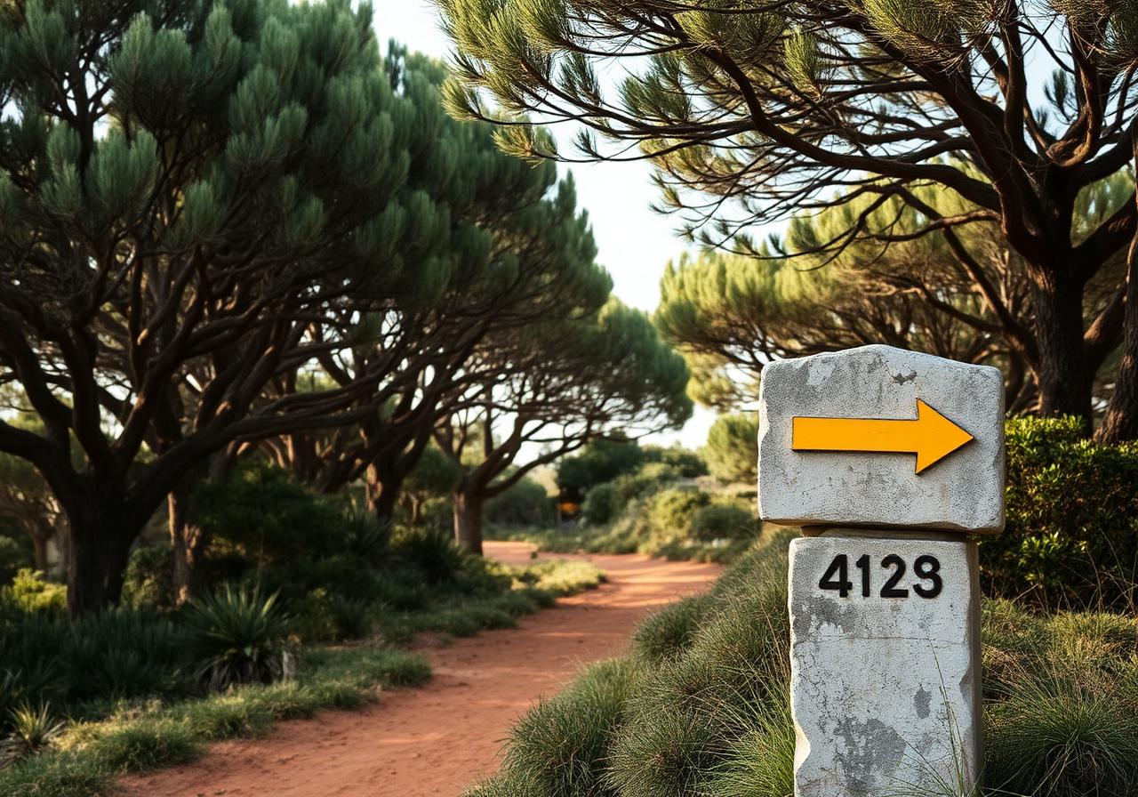
Discover the meaning of the yellow arrows on the Camino de Santiago, where they came from, and why they have become one of the most beloved symbols of The Way.
9 min read
Culture
The History of the Camino Francés
Discover the history of the Camino Francés, the most famous route of the Camino de Santiago, from its medieval origins to its modern revival.
13 min read
Culture
Why Did Pilgrims Walk to Finisterre?
Discover why pilgrims walked from Santiago to Finisterre, the "end of the world," and how this Atlantic extension became one of the most meaningful parts of the Camino.
11 min read
Culture
The Templar Knights and the Camino de Santiago
Explore the connection between the Knights Templar and the Camino de Santiago, including medieval protection, castles, legends, and the Templar presence along the Way.
12 min read
Culture
The Camino During the Reconquista
Explore the history of the Camino de Santiago during the Reconquista and how pilgrimage, politics, faith, and medieval Spain shaped the Way of Saint James.
13 min read
Culture
How the Camino Shaped Towns Across Northern Spain
Discover how the Camino de Santiago shaped towns across northern Spain through pilgrimage, trade, churches, hospitals, markets, and medieval hospitality.
13 min read
Culture
The History of Pilgrim Hospitals on the Camino de Santiago
Discover the history of pilgrim hospitals on the Camino de Santiago and how medieval hospitality, shelter, food, and care helped pilgrims survive the journey to Santiago.
13 min read
Culture
The Cathedral of Santiago de Compostela: History and Meaning
Discover the history and meaning of the Cathedral of Santiago de Compostela, the spiritual heart of the Camino and the traditional resting place of Saint James.
13 min read
Culture
The Botafumeiro: History of Santiago Cathedral's Giant Incense Burner
Discover the history of the Botafumeiro, the giant incense burner of Santiago Cathedral, and why it has become one of the most famous traditions of the Camino de Santiago.
12 min read
Culture
How the Camino de Santiago Declined and Was Revived
Discover how the Camino de Santiago declined after the Middle Ages and how it was revived into one of the world's most famous pilgrimage routes today.
13 min read
Culture
The Camino de Santiago in Modern Times
Explore the Camino de Santiago in modern times and how an ancient pilgrimage became a global journey of faith, adventure, healing, culture, and self-discovery.
13 min read
Culture
Why the Camino de Santiago Still Matters Today
Discover why the Camino de Santiago still matters today and why this ancient pilgrimage continues to attract modern walkers seeking meaning, healing, adventure, and connection.
13 min read
Gear
What I Wore on the Camino de Santiago (And What I'd Do Differently)
I walked 800km across Spain in Adidas running shoes and gym shorts. Here's exactly what I wore on the Camino de Santiago — and the gear I'd actually recommend instead.
9 min read